Punta del Este Beaches: Mansa vs Brava (and the Rest) (2026)
The first time I tried to meet a friend “at the beach” in Punta del Este, I drove past three different stretches of sand and still ended up in the wrong place. She’d said “Parada 12,” I’d heard “the beach near the marina,” and we were a full kilometre and one ocean apart. That afternoon taught me the single most useful thing about this town: it doesn’t really have a beach, it has two coastlines and about forty numbered access points, and once you understand the logic, the whole place clicks into focus.
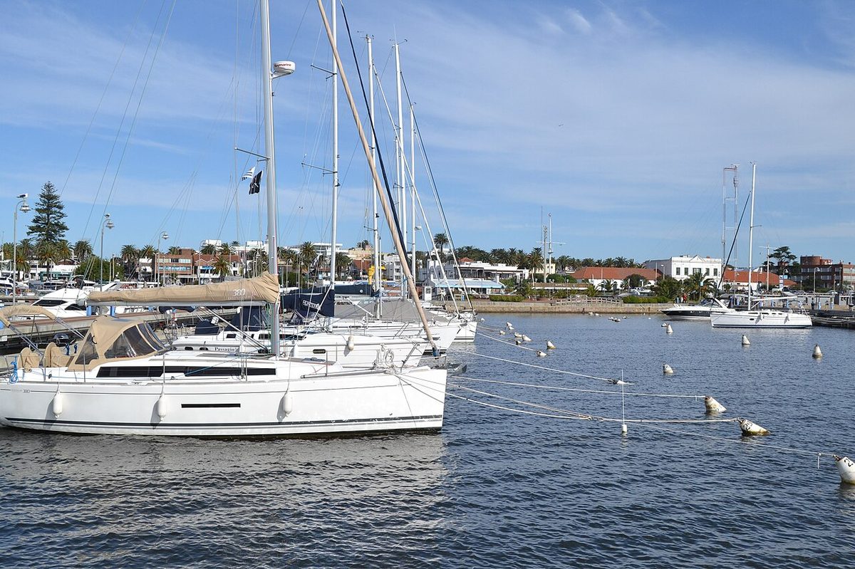
Those Punta del Este beaches split into two opposite worlds that share a single thin peninsula. On one side you get Playa Mansa, the calm bay water of the Río de la Plata, where the marina and the high-rise towers sit. On the other you get Playa Brava, the cooler open Atlantic with the real surf and the giant concrete hand. Almost everything else is a variation on those two themes.
This guide walks the whole coast from the quiet Mansa side to the wild Brava side, through the small Peninsula beaches, out toward the surf beaches near La Barra, and explains the parada numbering system that locals use instead of street names. I’ll be honest about water temperature, crowds, and which beach actually suits which kind of day.
| Beach zone | Water | Surf | Vibe | Best for |
|---|---|---|---|---|
| Playa Mansa (bay / west) | Calmest, a touch warmer | Almost none | Towers, marina, sunsets | Families, swimmers, paddleboards |
| Playa Brava (Atlantic / east) | Cooler, open-ocean | Moderate, beach breaks | Wide, windswept, La Mano | Long walks, bodysurfing, photos |
| Peninsula beaches | Mixed both sides | Some (El Emir) | Walkable, in-town | No car, short stays |
| Montoya & Bikini (toward La Barra) | Cool, punchy | Best surf | Younger, beach-club | Surfers, the under-30 scene |
Why Punta del Este beaches come in two flavours
Geography does all the heavy lifting here. Punta del Este sits on a narrow finger of land that pokes south into the sea, and that finger marks the exact spot where the Río de la Plata — the enormous brown-green estuary draining off the River Plate — meets the open Atlantic Ocean. The two bodies of water behave completely differently, and the peninsula keeps them apart.
West of the peninsula, you’re on the estuary side. The water is sheltered, the waves are small, and locals call this whole flank Playa Mansa — mansa meaning “tame” or “gentle” in Spanish. East of the peninsula you face the raw Atlantic, and that side is Playa Brava — brava meaning “fierce” or “wild.” Same town, same afternoon, two genuinely different swims.
That single fact explains nearly every choice you’ll make. Want to float and read a book without getting knocked over? Mansa. Want a big sky, a long sandy walk, and a wave to jump into? Brava. The marina, most of the famous towers, and the best sunsets are on the Mansa side. The wide-open beach, the surf scene, and the sculpture everyone photographs are on the Brava side.
One thing nobody warns you about: neither side is bathwater. This is the South Atlantic at roughly 35 degrees south, not the Caribbean. Even at the height of summer the sea here is refreshing rather than warm, and I’ll give you the real numbers further down. If you arrive in January expecting tropical water, you’ll get a small shock around your ankles.
Playa Mansa: the calm bay side
Mansa is where I send anyone travelling with small kids, anyone who just wants to swim laps, and anyone who’d rather watch a sunset than fight a wave. The water sits flat most days, the slope into the sea is gentle, and the whole strip faces roughly west, so the late light is gorgeous. This is also the postcard side — the marina full of yachts, the skyline of apartment towers, the rambla (the seafront promenade and road that runs the length of the coast) lined with parked cars and ice-cream stops.
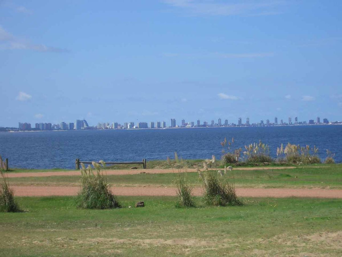
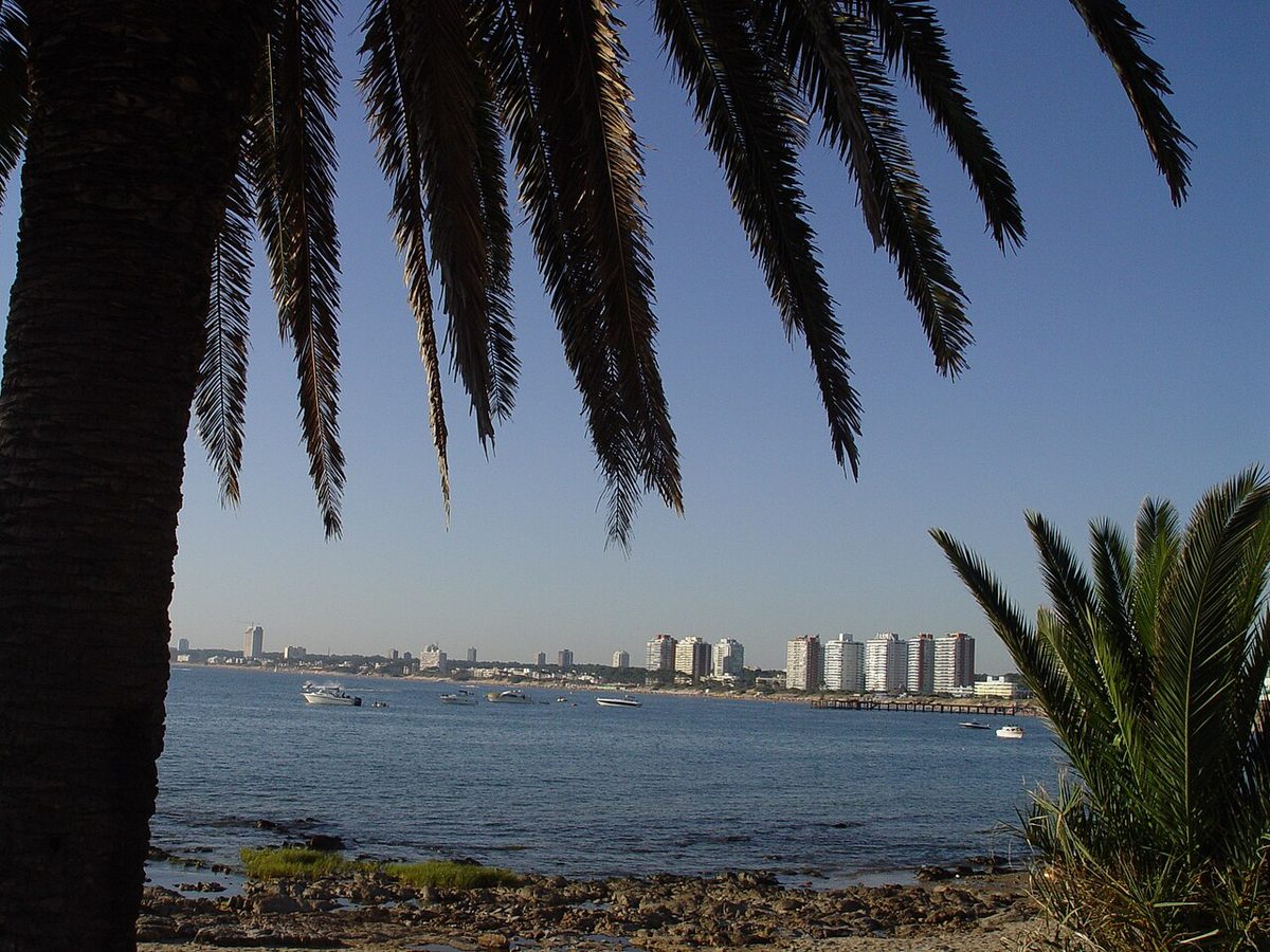
The Mansa beach isn’t one beach so much as a continuous run of sand stretching west from the base of the peninsula toward Punta Ballena, broken up by paradas. The closest stretches to the marina get crowded and a bit urban, with towers casting afternoon shade earlier than you’d like. Walk or drive a few paradas west and the buildings thin out, the sand widens, and you can actually spread out a towel in January.
For families, the practical wins stack up. Calm water means you can take your eyes off a paddling toddler for two seconds without panic. Paddleboards and kayaks rent along here, and they actually make sense on water this flat. The parador — a beach restaurant-bar that also rents loungers and umbrellas — culture is strong on Mansa, so you can roll up with nothing and still get a chair, a shower, and a plate of fried fish.
My honest drawback for Mansa: the water clarity. Because this is estuary water carrying river silt, the sea here often runs a murky tan-green rather than blue, especially after wind or rain churns it up. It’s perfectly clean for swimming and the sand is lovely, but if your mental image of a beach is turquoise transparency, Mansa will look muddy to you. The Brava side, facing open ocean, tends to read clearer and bluer.
Best paradas on the Mansa side
Down near the peninsula, the lower-numbered Mansa paradas put you in walking distance of restaurants, the port, and the bus terminal, which is handy if you’re carless. The trade-off is shade from the towers and a denser crowd. These are convenience beaches, not escape beaches.
Further west — think the higher parada numbers out past the main cluster of buildings — you reach the calmer, roomier sand. This is where local families with coolers and umbrella stakes set up for the whole day. If your priority is space and a clean horizon over proximity to a café, keep driving west and you’ll be rewarded. There’s a fuller breakdown of the country’s coastline in my guide to the best beaches in Uruguay if you want to compare Mansa with what’s on offer elsewhere.
Playa Brava: the wild Atlantic side
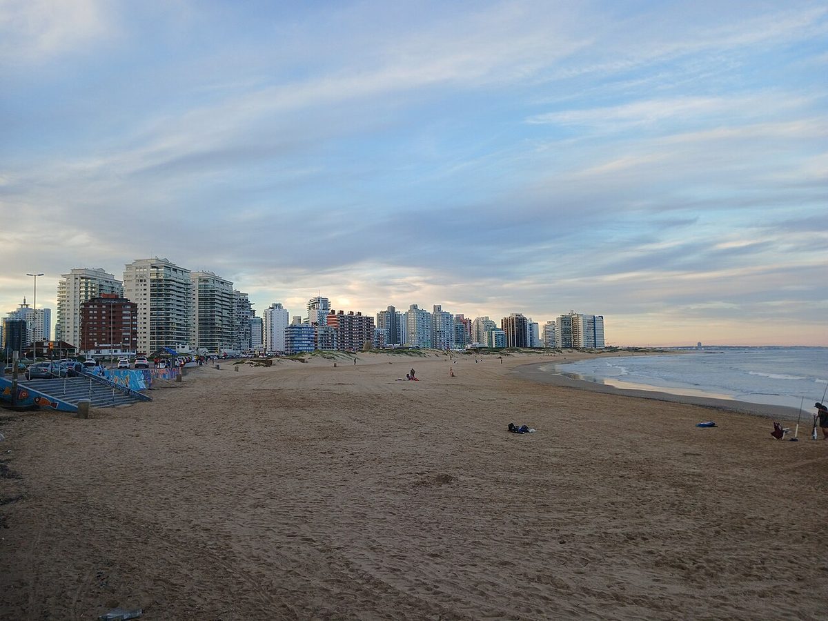
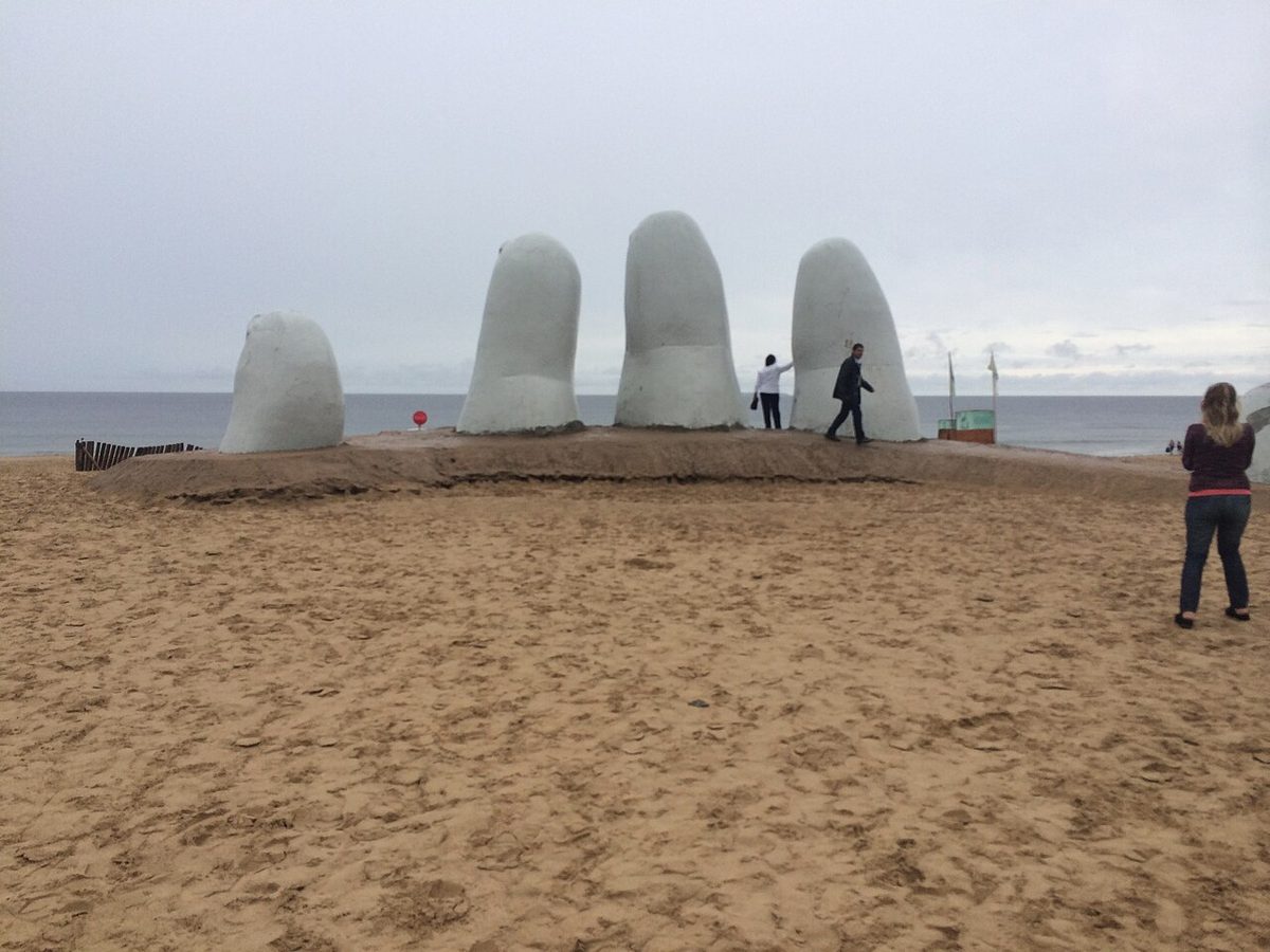
Brava is the one people mean when they picture Punta del Este: an enormous open sweep of sand facing nothing but ocean, wind in your hair, and the famous fingers of La Mano — the half-buried concrete hand sculpture — rising out of the beach near the tip of the peninsula. The water is cooler than Mansa, the waves actually break, and the whole place feels bigger and a little untamed.
This is my favourite side for a long walk. You can set off near the sculpture and stride east for what feels like forever, the towers shrinking behind you, the sand going from packed and busy to nearly empty within a couple of kilometres. The swimming is more of an event here — proper waves to dive under and bodysurf — but it’s the Atlantic, so respect it. There are shore breaks and the occasional rip, and the water grabs at your legs in a way Mansa never does.
The sand on Brava tends to be paler and the sea bluer than on the bay side, because you’re looking at open ocean rather than river outflow. On a clear, breezy day with whitecaps rolling in, Brava genuinely looks spectacular. On a grey, blown-out day it can feel bleak and cold, even in summer, so the weather matters more here than on the sheltered side.
My honest drawback for Brava: the wind and the chill. Because it faces the open Atlantic with no shelter, Brava catches every gust, and an onshore wind can turn a warm day into a towel-flapping, sand-in-your-sandwich ordeal. The water also runs a degree or two colder than Mansa, which sounds trivial until you’re the one wading in. Bring a windbreaker even in January.
La Mano, and what’s actually around it
La Mano de Punta del Este sits right on Brava near Parada 1, and yes, it’s worth seeing once — it’s the symbol of the whole resort and the most photographed object in Uruguay. I won’t write the full story of the sculpture here; it has its own piece. For beach purposes, just know that the sand immediately around the hand is the busiest, most photographed, least relaxing stretch of Brava. Walk five minutes east and you trade the selfie crowd for actual breathing room.
The parada system: how locals actually navigate
Here’s the thing that confused me on day one and that almost no listicle bothers to explain properly. Punta del Este doesn’t navigate its coast by beach names or street addresses — it navigates by paradas, which literally means “bus stops.” Each parada is a numbered point along the rambla, and people use those numbers as coordinates for everything: where to meet, where to park, which surf break they mean, which parador serves the best chivito.
The system works outward from the peninsula. Parada 1 sits near the base of the point on each coast, and the numbers climb as you move away from the tip in either direction. So Parada 1 Brava and Parada 1 Mansa are both near the peninsula but on opposite shores — which is exactly how my friend and I ended up a kilometre apart. Always say the side, not just the number.
On the Mansa side, parada numbers increase as you head west toward Punta Ballena and Casapueblo. On the Brava side, they increase as you head east along the Atlantic toward La Barra, and they run high — into the thirties and beyond — by the time you reach the surf beaches. Once it clicks, it’s brilliant: “I’m at Parada 12 Brava” tells a local exactly where you are, how busy it’ll be, and what the surf is doing.
Practical tip: every mapping app and ride-hail in town understands parada numbers, and many beach restaurants are named after their parada. When you book anything — a lounger, a surf lesson, a taxi — give the parada and the coast and you’ll never get lost the way I did. It’s the single most useful local habit to adopt, and it makes the rest of your trip frictionless. For wider trip logic, my Uruguay itinerary shows how Punta fits a longer route.
The Peninsula beaches: small, central, walkable
If you’re staying in town without a car, the Peninsula beaches are your daily swim. These are the smaller stretches wrapped around the tip of the point itself, and you can walk between several of them in an afternoon. They’re not the grand sweeps of Mansa or Brava — think pocket beaches and rocky little coves — but their convenience is hard to beat.
Playa de los Ingleses (“the Englishmen’s beach,” named for an old shipwreck story) is the first proper Atlantic beach as you come around the point, a compact strand backed by apartment blocks. Just along from it, Playa El Emir is the surfers’ pick on the Peninsula — small but with a reliable little wave, and a fixture for local board-riders who don’t want to drive out to Montoya. Continue and you reach La Chiverta, another of the trendier in-town stretches.
On the bay flank of the Peninsula you’ll find La Pastora, a calmer Mansa-style pocket closer to the marina. None of these will be the best beach of your trip, but they’re the ones you’ll actually use most if you’re based in the towers and want sand within a ten-minute walk. They get busy and feel urban — buildings right behind you, not much room at high tide — which is the honest trade-off for being so central. If crowded urban sand is a dealbreaker, the emptier beaches of Rocha start a couple of hours further east, and my comparison of the two coasts covers what you give up by going there.
East toward La Barra: Bikini, Montoya, and the surf scene
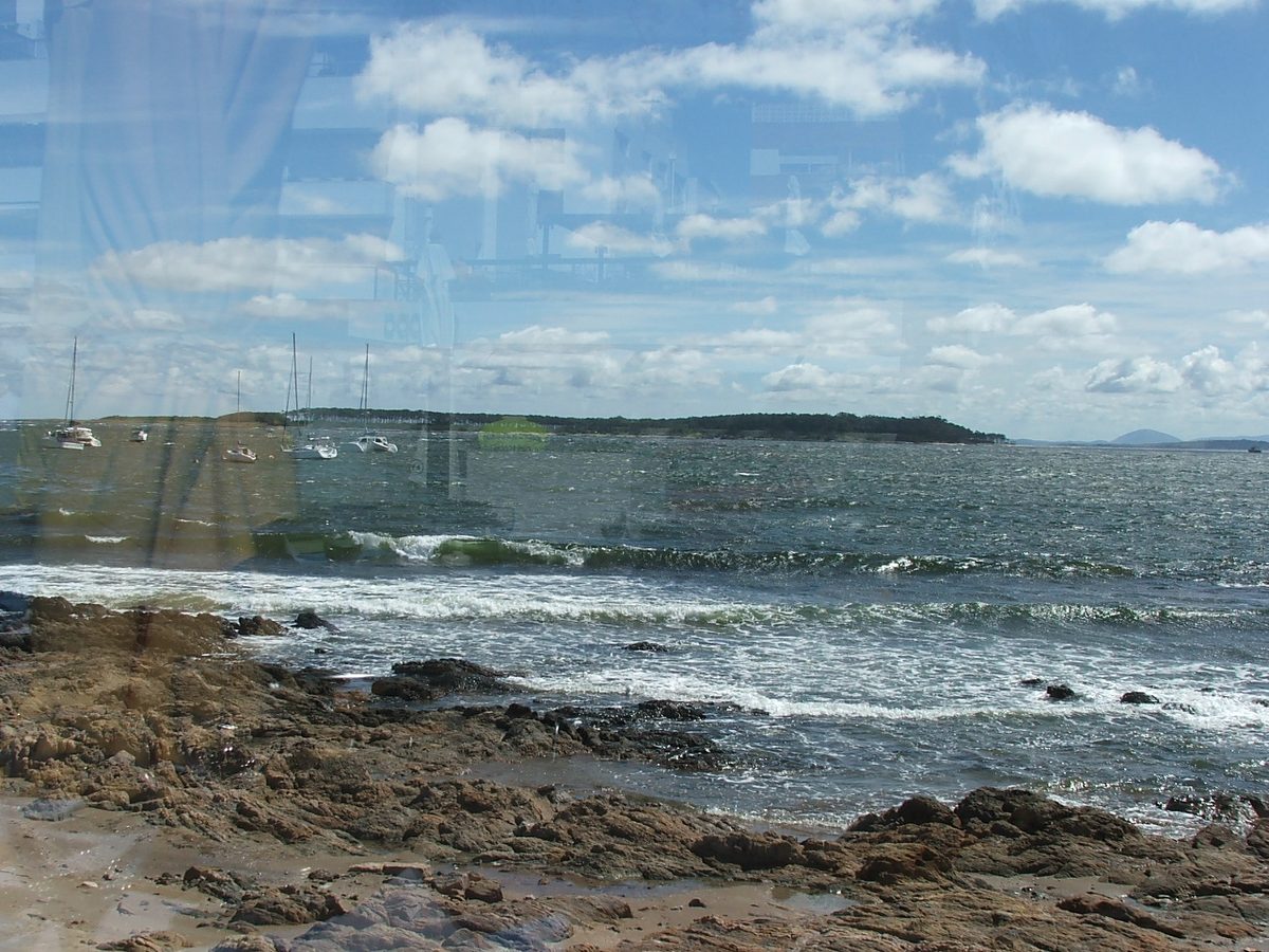
Drive east along the Brava coast, past the high parada numbers, and the beaches change character again. As you approach La Barra — the buzzy little town just over the famous wavy bridge — you hit Montoya and Bikini, the beaches that draw surfers and a younger, beach-club crowd. This is roughly a fifteen-to-twenty-minute drive from the peninsula, depending on January traffic, which can be brutal on that road.
Montoya is the serious surf beach. It has the most consistent waves in the area, and it has hosted stages of international surf competition because the sandbanks here throw up clean, punchy lefts and rights. Even if you don’t surf, it’s a good beach to watch from — the standard of riders is high, and the scene around it skews stylish. Bikini, just along, is the see-and-be-seen beach: smaller rocky bays, fashionable parador-style clubs, and a crowd that comes as much for the atmosphere as the swim.
I won’t write the full La Barra guide here — the town, its restaurants and nightlife are a separate story — but for beaches, know that this eastern strip is where the surf and the social scene concentrate. The water is firmly open-Atlantic cool, the surf is the real reason to come, and the vibe is the youngest on the coast. If you’re chasing waves rather than calm, this is your end of town.
My honest drawback out here: the drive and the parking. In peak summer the road east clogs, and the lots near Montoya and Bikini fill early. Either come before noon, come by taxi, or accept a long walk from wherever you finally squeeze the car in. For surfers it’s worth it; for a casual swimmer, Mansa is far less hassle.
Water temperature, surf, and safety: the honest version
Let me give you the numbers most guides skip, because managing your expectations about the water is the difference between a great beach day and a grumpy one. The sea here follows the Southern Hemisphere seasons — summer runs December to February, with January the peak, and winter runs June to August.
In the warm months the water sits in the low twenties Celsius — averaging around 22°C (about 72°F) in January, nudging up toward 23°C in February (the warmest sea of the year), and holding around 22°C through March. December is cooler at roughly 20°C as the sea catches up to the air. That’s swimmable and pleasant, but it’s “fresh dip,” not “warm bath.” Most first-timers gasp on the way in and love it after thirty seconds.
Come winter, the water drops hard — into the low teens, around 12 to 14°C from June through August, occasionally colder. Nobody is casually swimming then; the beaches are for walking, and the surfers are in proper wetsuits. As a rough rule, a 3/2mm wetsuit handles summer surfing comfortably and you’ll want a 4/3mm in the colder half of the year. For the broader seasonal picture, my guide to the best time to visit Uruguay and the detail on Uruguay in summer both line up with these beach numbers.
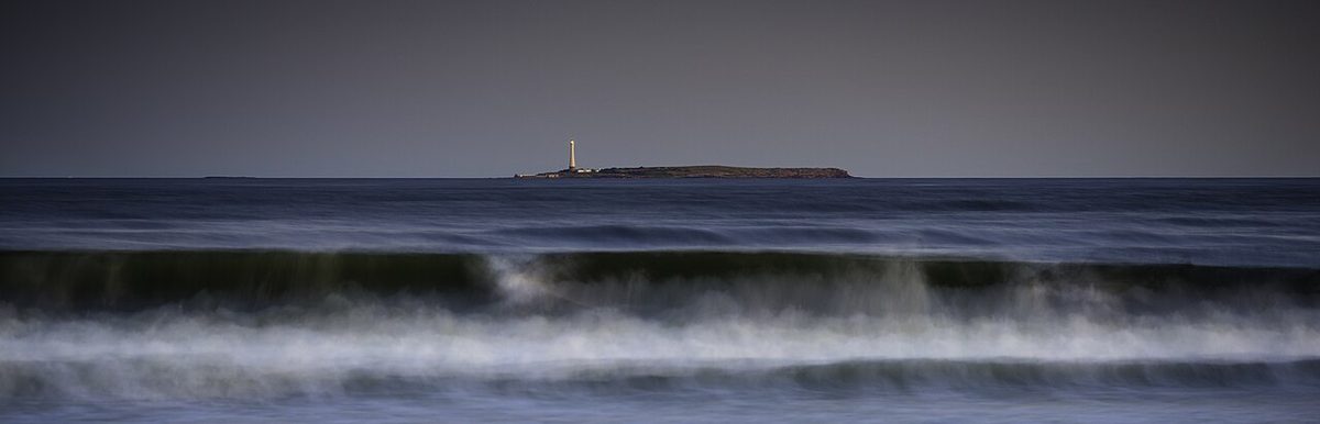
Across the board, Brava reads a touch cooler than Mansa and carries the surf and the currents, so it demands a little more respect in the water. Uruguayan beaches use a flag system on the lifeguarded stretches in season — green for safe, yellow for caution, red for don’t-go-in — and the guards (guardavidas) patrol the busy beaches through summer. Outside the December-to-Easter window, lifeguard coverage thins out fast, so don’t assume someone’s watching in the shoulder season.
Rip currents are the real hazard on the Atlantic side. They’re not constant, but Brava, Montoya, and Bikini can all produce them, especially with bigger swell. The standard advice holds: if you’re caught in one, don’t fight it straight back to shore — swim parallel to the beach until you’re out of the pull, then come in. Keep kids in the gentle Mansa shallows and you sidestep the whole problem.
Planning your beach days: crowds, parking, and when to go
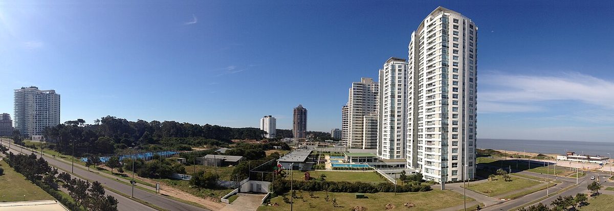
Timing is everything in this town, because Punta del Este is wildly seasonal. For roughly ten months of the year it’s a calm, half-empty resort. Then January arrives and the population multiplies as Argentines, Brazilians, and Uruguayans pour in for the summer holidays, and the beaches, roads, and restaurants all fill at once.
January is the peak, and it’s a different animal. The sand near the peninsula and at Bikini and Montoya gets genuinely crowded, the rambla turns into a slow parade of cars, and parking near the popular paradas becomes a sport. If you want the January energy — the scene, the buzz, the people-watching — this is when to come, and it’s a blast. If you want space, come a few weeks either side.
December and late February through March are my sweet spot: the water’s still warm, the weather’s still good, and you can park, get a lounger, and find quiet sand without a fight. The shoulder really does change the experience. You trade a little heat and a little buzz for a lot more room. My broader notes on when to visit Uruguay go deeper on the month-by-month calls.
For parking, the rule of thumb is simple. On the Mansa side you’ll mostly find free street parking along the rambla and the cross-streets, busier the closer you are to the marina. On the Brava side and out toward the surf beaches, the paradas with paradores often have free lots that fill early. The move is to arrive before noon, especially in January, or to skip the car entirely and use taxis and the local buses, which run the rambla constantly.
One more planning note: where you sleep shapes which beaches you’ll actually use. Base yourself in the peninsula towers and you’ll default to the central Peninsula beaches and lower Mansa paradas. Stay out toward La Barra and Montoya and Bikini become your locals. My overview of where to stay in Uruguay and the wider things to do in Uruguay can help you match a base to your beach plans. Punta sits an easy couple of hours east of Montevideo, so plenty of people day trip out from the capital by bus too.
Punta del Este beaches: your questions answered
Which is better, Playa Mansa or Playa Brava?
Neither is better — they suit different days. Choose Playa Mansa for calm, gentle water, easy swimming, paddleboards, families, and west-facing sunsets by the marina. Choose Playa Brava for open-ocean waves, long walks, a wider sky, clearer-looking blue water, and the La Mano sculpture. Most locals use both: Mansa for a lazy float, Brava for a proper swim and a walk.
How cold is the water in Punta del Este?
Warmer than people expect in winter, cooler than they hope in summer. In January and February the sea averages around 22 to 23°C (low seventies Fahrenheit) — refreshing but swimmable. In winter, June to August, it falls to roughly 12 to 14°C, too cold for casual swimming. The Brava (Atlantic) side runs a degree or so cooler than the sheltered Mansa side year-round.
What does “parada” mean and how do I use it?
A parada is a numbered bus-stop point along the coastal rambla, and it’s how everyone in Punta del Este gives beach directions. Numbers start at 1 near the peninsula and climb as you move away from the tip — west on the Mansa side, east on the Brava side. Always say which coast: “Parada 12 Brava” and “Parada 12 Mansa” are on opposite shores.
Where is La Mano sculpture and which beach is it on?
La Mano de Punta del Este — the giant concrete hand emerging from the sand — sits on Playa Brava near Parada 1, close to the base of the peninsula on the Atlantic side. It’s free, open all the time, and the most photographed spot in town, so the sand right around it is the busiest. Walk a few minutes east for the same beach with far fewer people.
Which beach is best for surfing in Punta del Este?
Head east toward La Barra. Montoya is the standout surf beach, with the most consistent, well-shaped waves in the area and a history of hosting competition; Bikini, just along, mixes good waves with a fashionable beach-club crowd. On the Peninsula itself, Playa El Emir is the handiest in-town break. Surf season swell builds from autumn through spring, so bring a wetsuit.
When is the best time to go to the beach in Punta del Este?
For warm water and good weather with fewer crowds, target December or late February into March rather than peak January. January has the warmest sea and the biggest social scene but also packed sand and gridlocked parking. For any month, arriving before noon gets you space, a lounger, and somewhere to leave the car.
Final thoughts
Once you stop thinking of Punta del Este as having “a beach” and start thinking of it as two coastlines plus a numbering system, the whole place gets easy. Mansa for calm and sunsets, Brava for waves and walks, the Peninsula beaches when you’re carless, and the Montoya–Bikini end for surf and scene. Say the parada, say the coast, and you’ll never end up a kilometre from your friends.
My one piece of expectation-setting: come for the sand, the light, the long walks, and the buzz — not for tropical water (the sea stays cool here). This is the cool, characterful South Atlantic, and that’s exactly what makes it feel like Uruguay rather than anywhere else. Bring a windbreaker, learn the paradas, and pick your side by your mood. For the bigger picture on the town beyond its beaches, my complete Punta del Este guide ties it all together.
Credits & sources
Sources & further reading
- Punta del Este — Wikipedia (overview, geography, and the peninsula’s two-coast layout)
- La Mano de Punta del Este — Wikipedia (the sculpture on Playa Brava)
- Punta del Este sea temperature — SeaTemperature.info (month-by-month water-temperature data)
Photo credits
All images via Wikimedia Commons: Playa Brava La Mano Punta Del Este by NaBUru38 (CC BY-SA 4.0); Playa Mansa Marina Punta Del Este by Roberto Tietzmann (CC BY 2.5); Playa Brava Surf Waves Uruguay by Joel Diplan (CC BY 3.0); Punta Del Este Peninsula Aerial by Santiago Machado (CC BY-SA 3.0); Montoya Bikini Beach La Barra Surf by Jimmy Baikovicius from Montevideo, Uruguay (CC BY-SA 2.0); Punta Del Este Rambla Coast Sunset by Zulmabm (CC BY-SA 4.0).